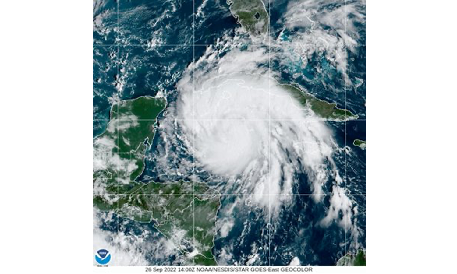
The hurricane is expected to rapidly intensify over the next few days, although it is not expected to make landfall over Belize.
by Khaila Gentle
BELIZE CITY, Mon. Sept. 26, 2022
Over the weekend, Tropical Depression 9 gained strength and became Tropical Storm Ian and, soon after, it intensified into a hurricane. According to Chief Meteorologist at the National Meteorological Service, Ronald Gordon, accurate tracking models continue to indicate that the hurricane will continue on its path well to the east of Belize, and its impact on the country is thus expected to be minimal.
One effect of the hurricane already being felt in Belize, said Chief Meteorologist Gordon, is a shift in wind direction. This shift has resulted in areas along the coast experiencing the extremely hot daytime temperatures that are typical for inland areas.
“Another impact is that your typical afternoon thunderstorms that normally develop inland due to heating will tend to move also to the coast and offshore areas late in the evening and nighttime,” Gordon added.
While strong gusts of wind can be expected during thunderstorms, the National Meteorological Service does not expect anything near tropical storm or hurricane force winds to affect the country. And while flooding has not been ruled out completely, Gordon said that no widespread flooding is expected for the most part.
Hurricane Ian has been moving in a north/northwesterly direction at 13 miles per hour, with maximum sustained winds of 85 miles per hour (mph). The quickly intensifying hurricane will move over western Cuba, where it will bring winds of up to 100 mph. It will then emerge in the Gulf of Mexico near Tampa, Florida, by which time it could become a Category 4 or 5 hurricane.

