BELIZE CITY, Thurs. Sept. 3, 2020– As of midday Thursday, the Amandala has received no reports of injuries or loss of human life caused by Hurricane Nana as it crossed over mid-south Belize early Thursday morning. We haven’t been notified of an official assessment of the damages, but pictures of the area where the eye of the relatively small hurricane passed show some damage of structures, and quite significant damage to the crops of small farmers and the banana plantations. It is reasonable to expect that owners of citrus groves in the area also suffered some losses.
Hurricane Nana first got serious notice from the authorities in Belize on Sunday evening, August 30, when NEMO issued its first advisory, at 5:00 p.m. At the time it was a tropical disturbance traveling westward at 15 mph, a rate that would see it affecting our shores on Thursday. The Tuesday issue of the Amandala reported that on Monday, August 31, the weather system was continuing on its westward path, that it was gusting up to 35 knots, and that it was about 1100 nautical miles due east of Belize.
On September 1, at 9:00 a.m., the website Weather Underground, which provides “real-time weather information (for major cities across the world) over the Internet”, described the system as a potential tropical cyclone, with winds at 40 mph. One hour later, the system was upgraded to a tropical storm with sustained winds of 50 mph, and coordinates of 16.5 North Latitude and 77.7 West Longitude. The storm increased to 60 mph at 9:00 a.m. Tuesday and, as predicted by experts, just before making landfall in Belize on September 3, it became a hurricane, Hurricane Nana.
From the early stages of the storm’s formation, the weather experts marked Belize as the destination to which Hurricane Nana was headed, and the only question was, where in our country? For a time it looked as if it would be making landfall in Belize City, as it gradually moved north, from 16.1 N to as far as 17.1 N (Belize City is 17.5N), but in the end the winds steered it more to the south, first towards Dangriga (16.97N), and then to Hopkins and Sittee, where it crossed over onto land.
NEMO Advisory # 11, issued at 6:00 a.m. on September 3, said, “Nana made landfall between Dangriga and Placencia, near Hopkins and Sittee River communities between 11:45 p.m. and 4:00 a.m. on Thursday, 3rd September, 2020.” NEMO also issued an “All Clear” for the Corozal, Orange Walk, Belize, Cayo, and Stann Creek districts. At 9:00 a.m., September 3, NEMO issued Advisory # 11A, declaring the “All Clear” for the entire country.
NEMO Advisory #11A said that they had received “no reports of casualties and/or major injuries” and that their initial reports suggested that the Stann Creek District was more affected than the Toledo District. NEMO said that reports they received showed varying degrees of damage to buildings and other infrastructure, and crops.
Hurricane Nana fits the description of a small hurricane, with maximum sustained winds of 75 mph and higher gusts, and hurricane winds not extending more than 10 miles from the center while tropical-storm-force winds (39 – 73 mph) extended to 70 miles, but that is enough force to cause major damage to crops.
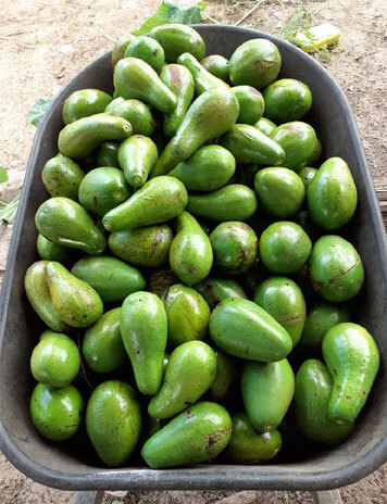
All the small farmers in the south that were in the path of Hurricane Nana suffered losses, to their corn, avocados, plantains, golden plums, and other fruits, because of the strong winds and rain. The assessment of the damage to the major agro-industries in the south will take some time, but all indications are that the losses will not be small. Tropical storm force winds of 35 mph will topple or shred the leaves of bananas, and 50 mph winds will cause significant fruit fall in citrus.
We are only at the beginning of the major part of the hurricane season, in September and October, and already eyes are on two weather systems that just formed off the Atlantic Coast of Africa. It should be some consolation for Belize that we are not in the habit of getting hit by more than one hurricane in a season, so ordinarily we would have had our share of strong winds for 2020, but with the globe warming, and thus creating a more favorable environment for hurricane formation, we have to stay ready.
(Late this evening, the Damage Assessment and Need Analysis (DANA) teams on the ground shared some preliminary information. They reported that the citrus industry in the south of the country sustained minor damage; however, over 960 acres of banana plantations were totally destroyed, an estimated $20.5 million dollars in loss.
The DANA teams also report 7 damaged structures in Hopkins, 13 in Silk Grass and 4 homes in Dangriga with roof damage.)

