
Chief meteorologist – Ronald Gordon
by William Ysaguirre (Freelance Writer)
BELIZE CITY, Thurs. May 29, 2025
As part of the activities for Hurricane Preparedness Week, the National Emergency Management Organization (NEMO) hosted a media orientation briefing at its Belize City office on Wednesday morning, May 28, to introduce the press to the new ways in which they plan to share information during the upcoming Atlantic Hurricane Season, which begins Sunday, June 1.
NEMO will establish a media center at its headquarters in Belmopan, which will serve as a clearing house for all warnings and information that the public should receive about an approaching storm or any other natural disaster, such as floods, a nearby earthquake, a possible tsunami or any other hazard. NEMO coordinator, Captain Daniel Mendez explained that accredited media organizations will be invited to set up operation on location at the media center to be informed of the latest developments instantly, in order for them to share with the wider public. A similar media center will also be set up at the National Meteorological Service in Ladyville.

NEMO coordinator – Cpat. Daniel Mendez
The public relations officer of the Ministry of Public Service, Governance and NEMO will prepare all statements, graphics and maps from the National Emergency Operations Center, which the Early Information Warnings Committee will review for clarity and accuracy before they are shared. NEMO will then post all briefing notes with the most updated information to its website and to social media. Mendez also shared an organogram of how the NEMO headquarters will communicate and coordinate response actions with emergency management organizations in each district and with village authorities. NEMO also prepared a media kit with a glossary of terms that will be used in communiques.
Satellite imagery gives the public the best picture of an approaching storm, Chief Meteorologist Ronald Gordon explained, as he guided the media on how to best interpret what they will see on their screens. North of the equator, the winds of a storm move in a counterclockwise direction, which is why the winds north of the eye will always have more force than those south of the eye, while the winds in the eyewall will have the highest velocity and will cause the maximum damage. A trough or area of low atmospheric pressure may develop into a tropical wave that brings winds and rain, which may organize itself into a tropical depression with maximum sustained winds of 28-38 miles per hour, which may then develop into a tropical storm with sustained winds of 39-73 miles per hour. When the wind speed reaches the threshold of 74 mph, the storm will have become a Category 1 hurricane, and the atmospheric pressure will drop further. The Saffir/Simpson scale categorizes hurricanes from 1 to 5, depending on the maximum strength of the winds and lowering air pressure. The most intense or major hurricane can produce such low atmospheric pressure that it causes sea levels to rise, producing a ‘hill’ of water, which will produce a tropical storm surge or tidal wave, when the storm makes landfall, which often causes the greatest damage and loss of life.
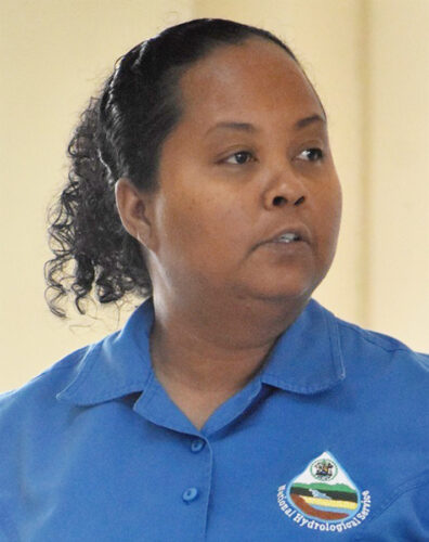
Principal hydrologist Tennielle Williams
Even when the storm does not reach hurricane force, these weather systems will bring a lot of rain, which can still cause a lot of damage, principal hydrologist Tennielle Williams explained. Her office, which comes under the Ministry of Sustainable Development and Climate Change, continuously monitors water levels in all rivers, streams and lagoons, and issues daily flood forecasts to warn rural communities of changes which may threaten their homes, farmlands and livestock. Water is so vital to life, that the National Hydrological Service constantly monitors all surface and underground aquifers. Sometimes the absence of rain can be equally catastrophic, as in 2019 when the severe drought forced the government to establish a $50 million fund to help farmers whose crops failed.
The media kit included information on how NEMO would respond to landslides and earthquakes, and how it would issue warning of a possible tsunami, as well as the planned response to any other hazard, such as uncontrolled forest fires which result from extremely dry conditions, and any other biological or chemical hazard and man-made technological hazards. This includes NEMO’s plan to handle disease epidemics.